

GPSMapEdit
About GPSMapEdit
GPSMapEdit is a map editor for the people who build the maps that go inside GPS receivers rather than the people who follow them. It opens a vector map, a set of roads, areas and points of interest arranged in zoom levels, and lets you draw and label each object, then save the result in the Polish format that map compilers read, or export it to the formats several makes of receiver use. Raster scans and aerial images load underneath as tracing layers, and tracks from a device load on top as references.
It sits in a narrow seat. Garmin BaseCamp plans routes on maps that already exist, and a general GIS package analyses data without caring how it looks on a five-inch screen. This one is for making the map itself, a hiking area nobody has mapped or a club’s trail network, and for that job it is the reference tool among hobbyist map makers.
Layers of a map, and the zoom levels behind them
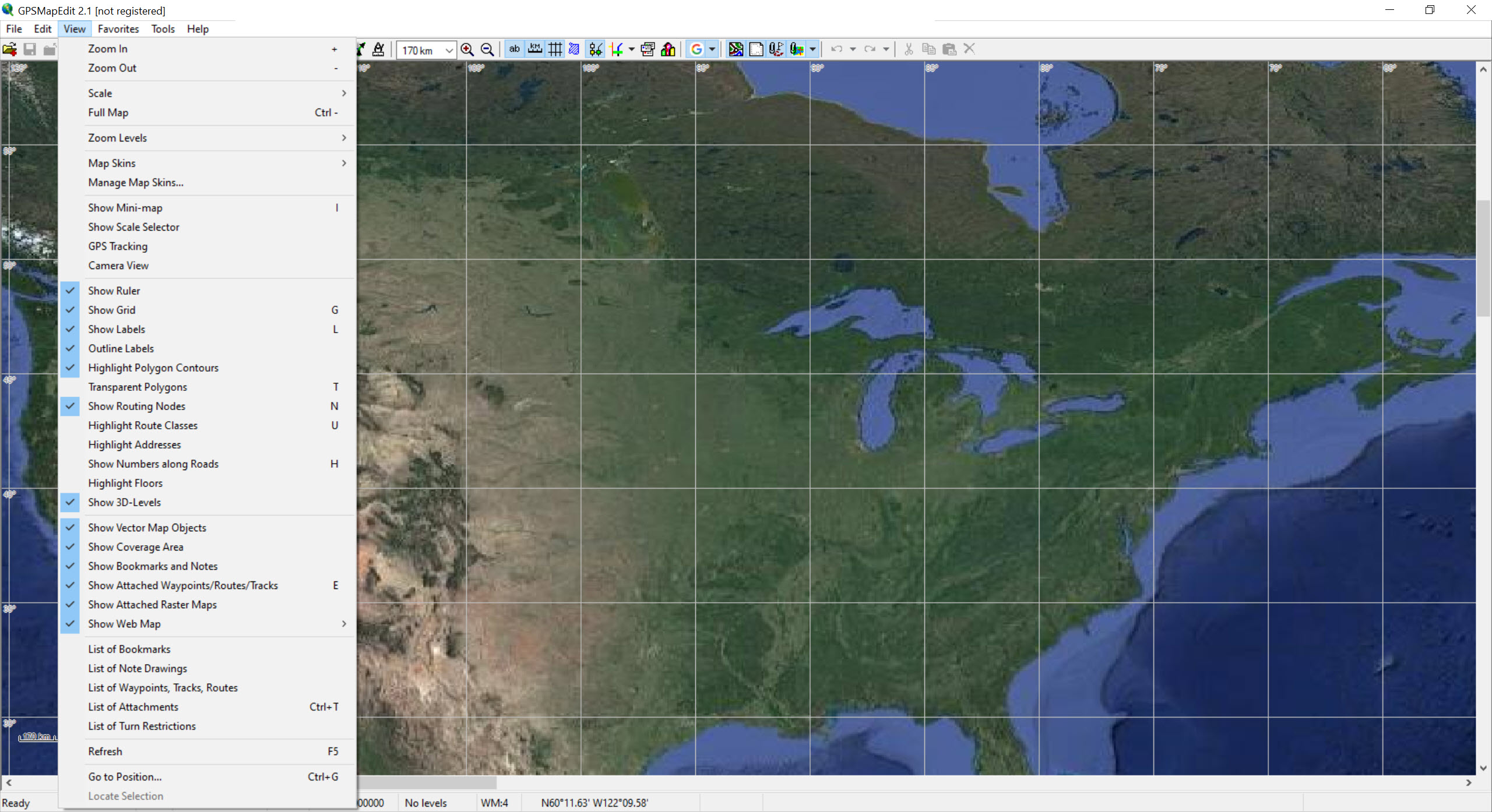
A receiver map is not one picture but a stack of levels, each showing a simplified version of the same area for a range of zoom, and GPSMapEdit shows which level you are working in on the status bar, with symbols for when the view is beyond or below the level’s intended range.
Objects can live on several levels at once or be split so each level carries its own simplified shape. A map imported from a compiled receiver file arrives with every object single-level, and a join command recombines them, which matters because otherwise every edit has to be made several times.
The object list underneath is where the precise work happens. Each road or area carries a type code that decides how the receiver draws it, a label, and properties such as road class and speed, and those can be edited in bulk across a selection. Non-Latin labels need the map header set to the right code page, or they appear as question marks.
Tracing from scans and tracks
In GPSMapEdit a new map usually begins with something to trace. A scanned paper map, an aerial photo in ECW or MrSID, or a georeferenced image loads beneath the vector layer, and roads are drawn over it by clicking along them. GPX tracks load as lines and are often the most accurate source, since they record where someone actually went. Waypoints become points of interest with a click.
When a layer does not line up, the affine transformation fixes shift, rotation and scale from three pairs of matching points, chosen far apart and away from the centre for accuracy. All sources have to share a datum, and the documentation is direct about how far two datums can disagree, around 150 metres in some regions, which is the difference between a road and the field beside it.
Formats in and out
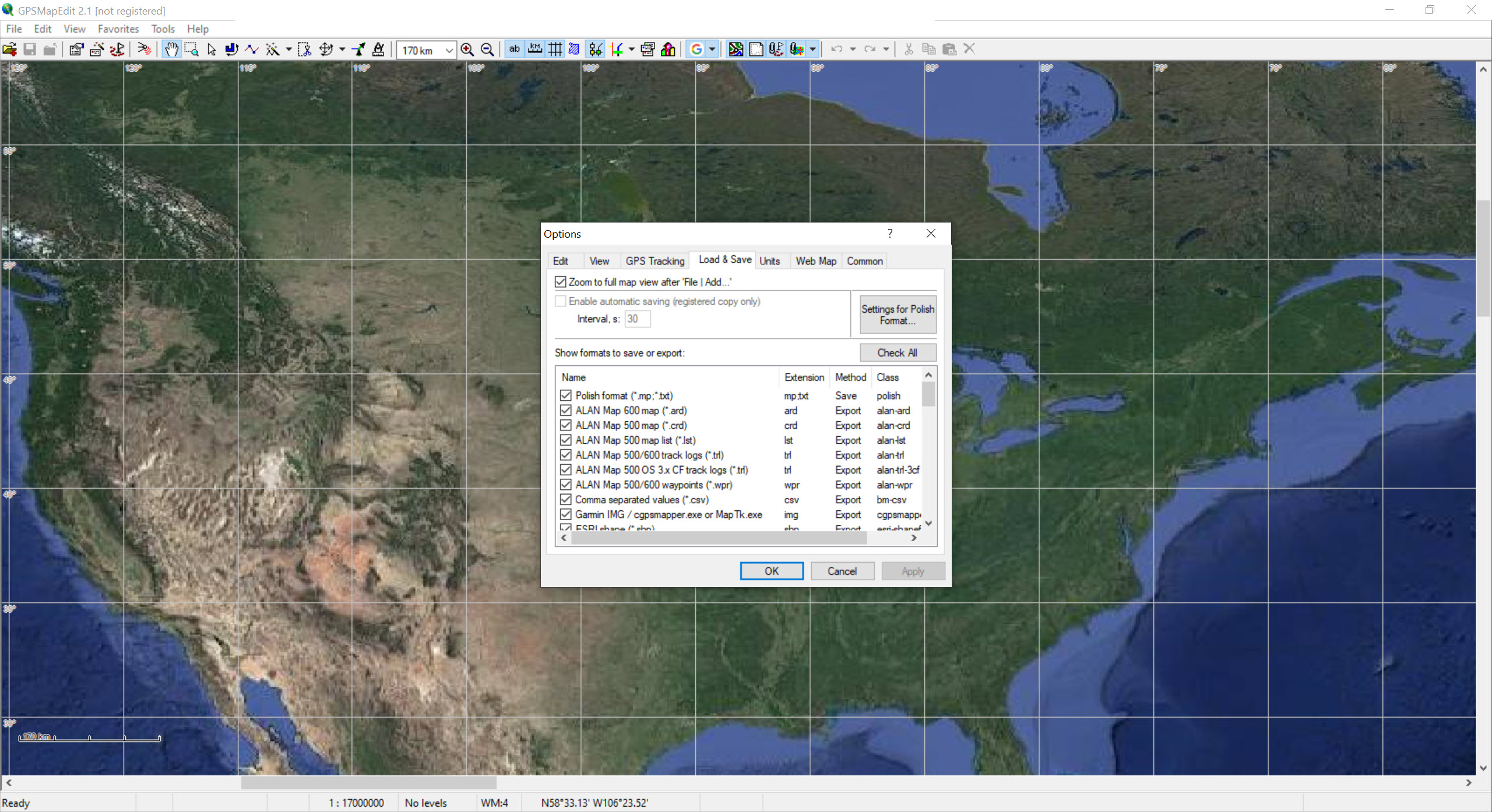
Import covers shapefiles, MapInfo files, CSV and spreadsheet tables of points, tracks from most receiver brands and the usual KML from Google Earth. Output goes to the Polish format, and from there to several receiver families directly, plus point-of-interest lists for the common navigation apps and speed camera files.
Compiled receiver maps can be opened and viewed without registration, which makes the program a capable inspector even for people who never edit anything.
Compiling a Polish file into the image format a receiver loads is done by a separate compiler rather than by GPSMapEdit itself, and that split is the first surprise for newcomers. The editor prepares and checks the source, the compiler builds the device file, and the receiver’s own update utility or a file copy puts it on the unit.
What takes getting used to
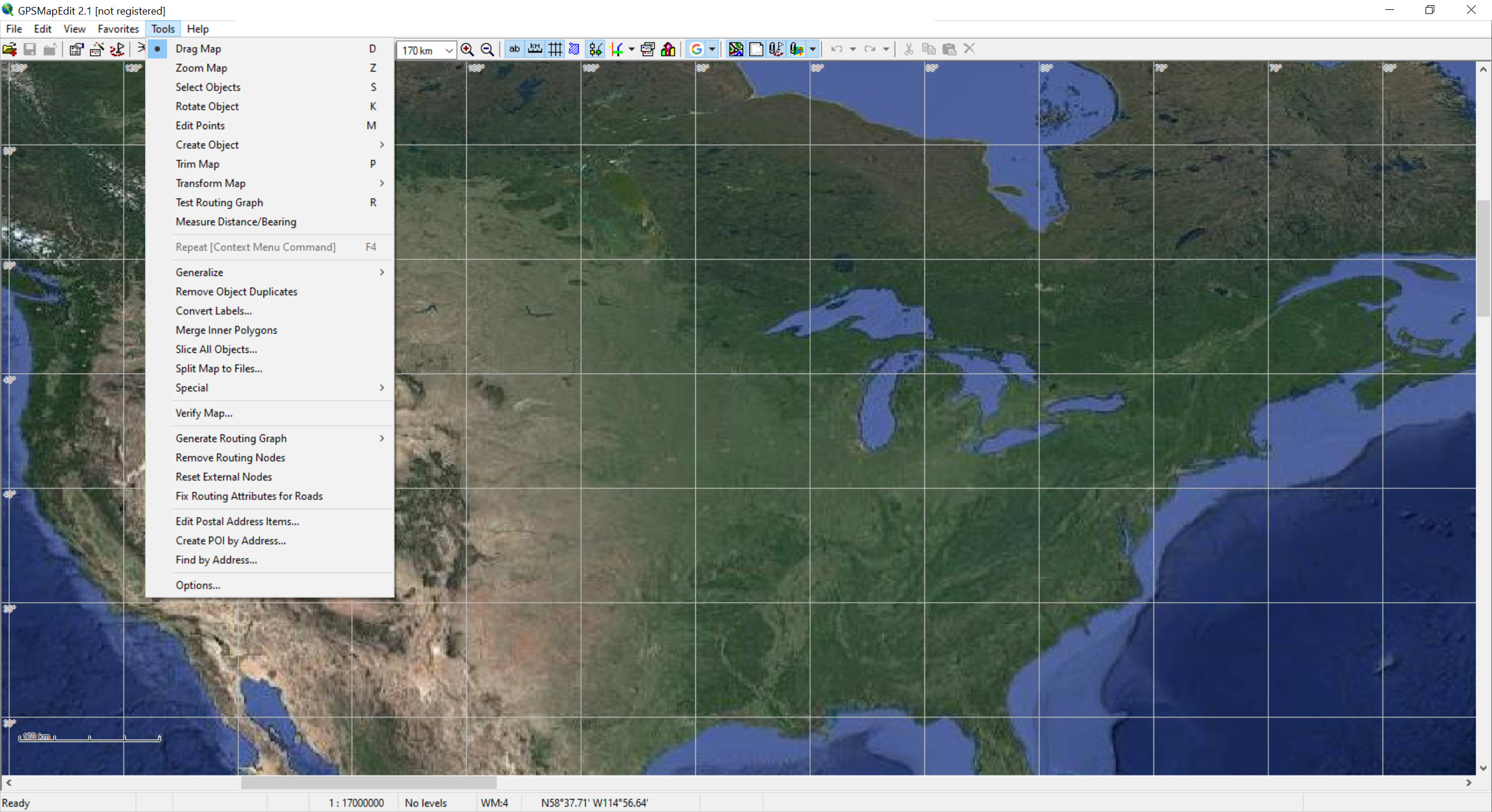
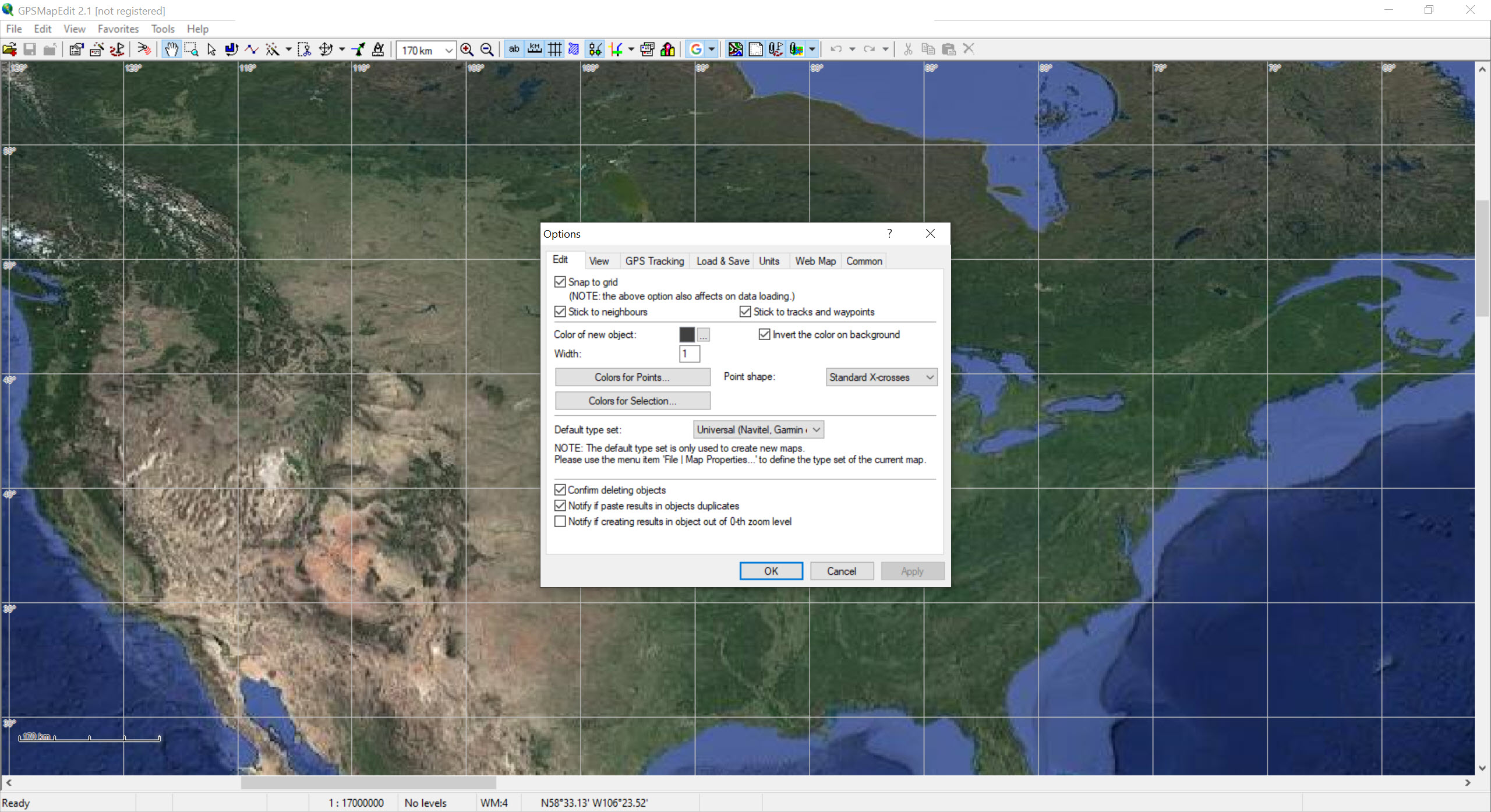
The GPSMapEdit interface is dense and functional, a large map pane with toolbars of small icons and a menu tree several levels deep, and the vocabulary of type codes and levels has to be learned before the tool makes sense. The status bar’s star after Ready means warnings were logged, and the message log under the File menu is the first place to look when something compiles oddly.
Some features are unlocked by a licence key, and editing large maps routinely needs them, while viewing and small edits do not.
Conclusion
GPSMapEdit is for the person who wants a map on a receiver that nobody has made, and who is prepared to learn type codes, zoom levels and a compiler to get it. For that person it is the most capable editor in its niche, and the tracing tools turn a scan and a few GPX tracks into a usable map faster than anything general-purpose.
Anyone who only wants to plan a route or load a ready map should stay with the receiver’s own software. This one is a workshop, and it expects you to bring the materials.
Pros & Cons
- Edits map objects across multiple zoom levels with join and split commands
- Traces over scans, aerial imagery, GPX tracks and waypoints
- Affine transformation aligns layers from three point pairs
- Imports shapefiles, MapInfo, KML and tables, exports to several receiver families
- Views compiled receiver maps without registration
- Compiling to the receiver format needs a separate compiler
- Dense interface and a vocabulary of type codes to learn
- Larger editing work needs a licence key
- Datum mismatches between sources must be handled by hand
Frequently asked questions
It prepares the source map in the Polish format, and a separate compiler turns that into the device file. For some receiver families it exports directly.
The map has levels with no objects at that scale. Delete the empty levels, keeping at least two, or switch to a level that has content.
Yes. Load it as a raster layer, align it with the affine transformation if needed, and draw the roads and areas over it.


